2024 Winners of our Undergraduate Dissertation Prize
-
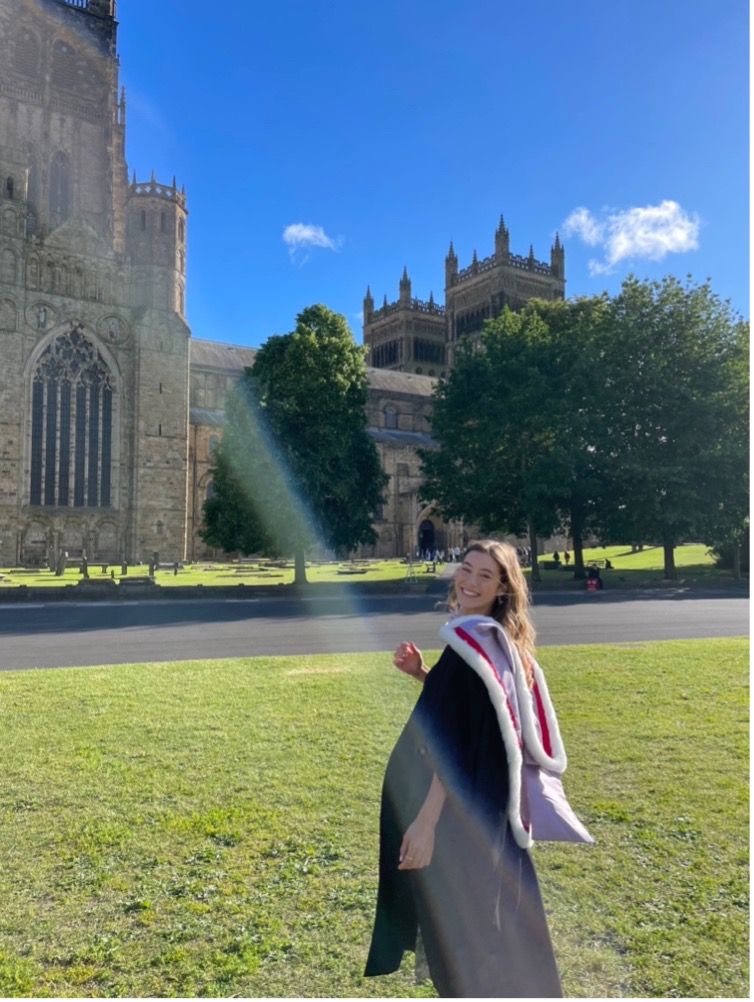
Sophie Pretorius, Durham University - prize in Human Geography for their dissertation A legacy of Apartheid?’: A GIS - based multi-criteria decision analysis (MCDA) into relative social vulnerability within Cape Town, South Africa.
-
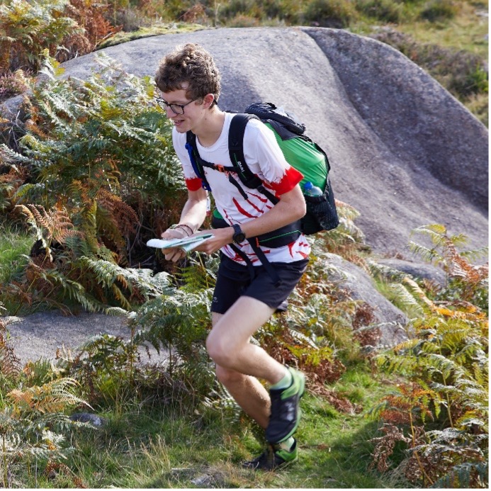
Dominic Dakin, University of Cambridge - prize in Physical Geography for Autogenerating orienteering maps: To what extent can remote sensing data be used to map forest vegetation density and topography without any field surveying?.
Sophie Pretorius
I graduated from Durham University in 2024 with a BSc in Geography, where I became interested in issues surrounding environmental and social justice, particularly within urban environments. Pre-existing inequalities increase a populations vulnerability and are predicted to intensify under contemporary challenges such as climate change. More than ever, embedded social disparities within cities must be acknowledged and addressed. My personal ties to South Africa and experiences of the stark socio-economic urban stratification within the country culminated in my dissertation, in which I explored the legacy of Apartheid within Cape Town.
Whilst research has been undertaken into the persistent ramifications of the Apartheid regime across South Africa, I realised that there was an absence of tangible, quantitative evidence to support claims. This does not allow a comprehensive understanding of the causal impact of Apartheid upon urban risk and vulnerability, meaning long-term inequalities are being overlooked in urban planning projects. Knowing this, I was motivated to develop a new Social Vulnerability Index for Cape Town, incorporating data on language and ethnicity. I then used the Analytical Hierarchy Process (AHP) to determine an overall vulnerability score for different wards within the city, which were categorised based on their former Apartheid Group Area (1950-1991). GIS allowed me to identity vulnerability ‘hotspots’.
Conclusions from the investigation quantitively confirmed what remains widely speculated; that a legacy of Apartheid remains within the poor infrastructure, services and opportunities available within formerly oppressed areas. Through this research, I hope to have demonstrated the feasibility and necessity of incorporating Apartheid metrics into social vulnerability assessments within South Africa.
I really enjoyed working on this project and I am delighted to have received this prize! Since graduating, I have left education (for now) and I am currently working within the sustainability and renewable energy field.

Dominic Dakin
In my spare time I do a lot of orienteering, both competing and volunteering, and over the years have done various bits of mapping of urban and forest terrain, which includes both surveying and cartography work to produce a highly detailed map, suitable for navigation whilst running. Having first hand experience of cold, soggy days out in the field surveying, followed by long stints performing manual cartography on the computer, I was prompted to question whether it was possible to ‘work smarter’ when mapping. Therefore, I identified the wonderfully niche subject of autogenerated orienteering mapping as the ideal subject for my dissertation, as part of my final year studying Geography at the University of Cambridge.
Preliminary research confirmed that although the use of LiDAR data to produce basemaps is now commonplace, manual cartography was still required to trace them, in order to produce satisfactorily smooth contours on the final map. Furthermore, all other aspects of the LiDAR data (such as those revealing vegetation characteristics) were being discarded.
My dissertation therefore focused on two key areas: auto-generating the mapping of contours, and vegetation density. The latter required me to develop quite a few novel methods. To produce vegetation density plots, I calculated NDVI from Planet satellite imagery and compared the ratio of counts of vegetation to ground returns from LiDAR data. I also developed a novel ground truthing method based on Bitterlich Sampling to measure forest visibility (a metric for forest density).
I really enjoyed the dissertation process: I never had to spend too long on one particular task, as mine incorporated a nice blend of GIS and fieldwork, before I commenced writing. Since graduating, I spent most of summer in Europe interrailing and am currently undertaking a work placement with RPS as a Wastewater Modeller, which makes use of the GIS skills I developed during my dissertation.
